Since its founding, 4DG has applied its expertise to numerous projects within Australia and overseas. Click on a book title above to view a selection of our service capabilities.

|
|
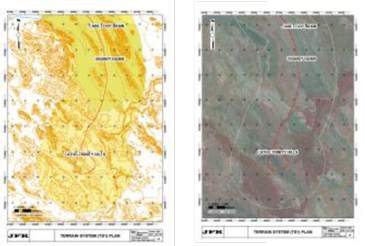
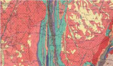
Desktop studies:Compilation of existing information including published geological plans, regional topographic data and aerial images and relevant literature; Development of initial engineering geological and geomorphological models; Provision of preliminary design parameters to enable ongoing engineering, including identification and comment on potential geo hazards; Reviewal potential for geo-variation and recommendation allowances to accommodate these; and Planning of additional works required to complete the project, based on the understanding of conditions at the site. |
|
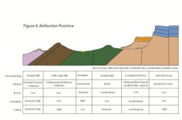
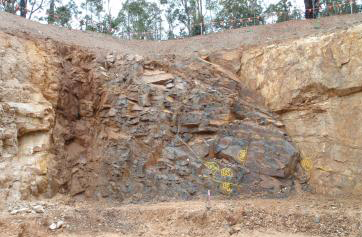
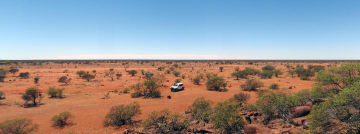
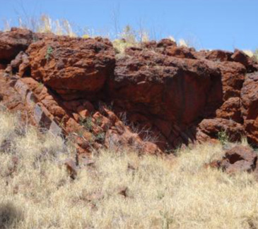
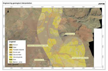
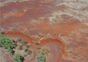
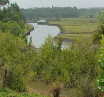
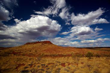
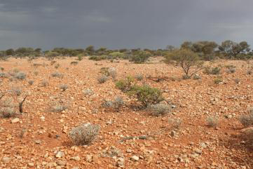
Engineering Geological Mapping:Locating, identifying and characterising geo-materials and masses; Describing the landforms present at the site, the geomorphological processes involved in their development and the properties of the geo materials from which they are made; Determining which geomorphological processes are presently acting on the site and assessing the likelihood of these processes impacting the proposed structures over time; Development of engineering geological and geomorphological models; Provision of preliminary design parameters to enable ongoing engineering, including identification and comment on potential geo hazards; Reviewal potential for geo-variation and recommend allowances to accommodate these; Identifying areas where land tenure is required for ground breaking investigations e.g. possible borrow areas; Identifying constraints to ground breaking site investigations; and Planning additional works required to complete the project based on the understanding of conditions at the site. |
|
|
|
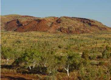
Engineering Geomorphology:Describing the landforms present at the site, the geomorphological processes involved in their development and the properties of the geo materials from which they are made; Determining which geomorphological processes are presently acting on the site and assessing the likelihood of these processes impacting the proposed structures over time; Development of engineering geomorphological models; forms a critical input to identification and characterisation of potential geo hazards at the site; Inputs to prediction of the distribution and characteristics of geo-materials and masses at the site; and Classifying land surfaces for engineering purposes. |
|
|
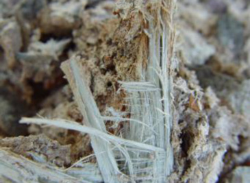
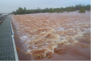
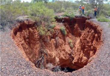
Geohazards:Specific attention is paid in desk study and field mapping to natural processes that have potential to impact construction or operations of structures. Common areas of concern include flooding, karst sinkhole formation, expansive soils, landslides, exposure and release of fibrous minerals, and formation of acid sulphate conditions. |


|


|
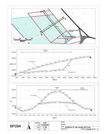
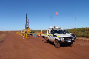
Site investigation:Planning, costing and safely conducting investigations in remote and extreme locations; Conducting test pitting, ripping trials and drilling as required; and Scheduling and supervising laboratory testing programmes on samples obtained during the site works. |

|
|
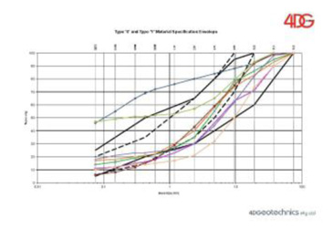
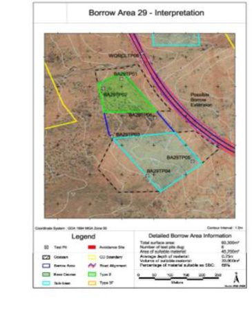
Borrow material management:Investigate and document borrow materials available for construction; Prepare or review borrow management plans in accordance with project guidelines, documenting development, utilisation and rehabilitation requirements; Identifying and analysing potential blends of materials from different sources to meet project requirements; Managing borrow utilisation during construction; and Classifying materials from cut or borrow in accordance with earthworks specifications. |

|
|
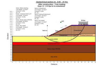
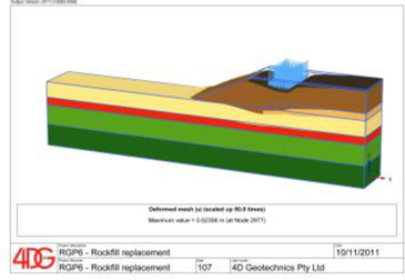
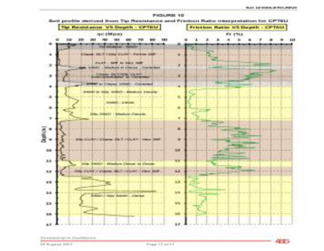
Geotechnical design:Works include, but are not limited to:
4DG foundation tools include PLAXIS, the GeoStudio family, Galena and an in-house developed software calibrated in compliance with Australian Engineering Standards. |
|
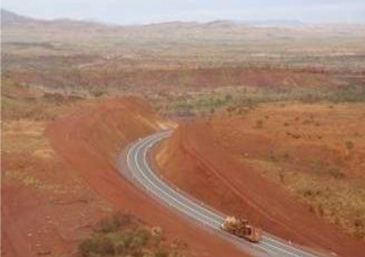
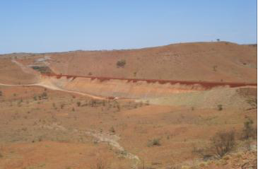
|
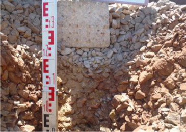
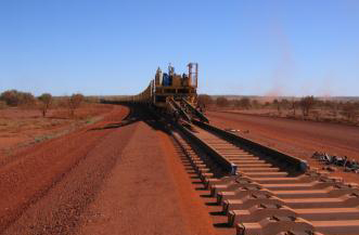
Road and Railway substructure design:Following relevant geological and geotechnical investigation and analysis, 4DG utilises various Australian and other recognised standards, accepted principles and the latest layered elastic methods and software for road and railway formation design in accordance with technical and client requirements. Software includes, but is not limited to:
|
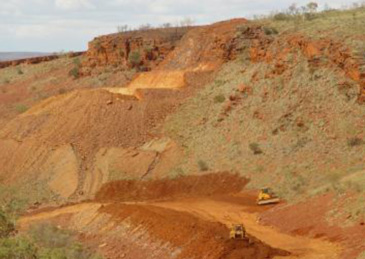
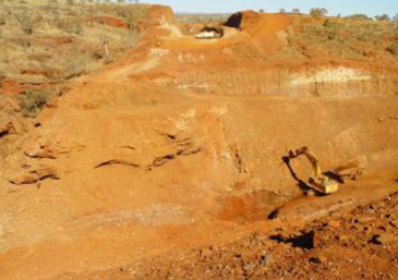
|
|
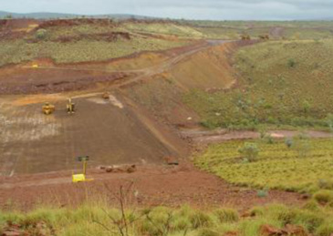
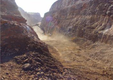
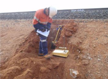
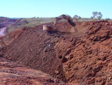
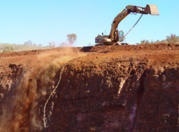
Construction Supervision:Document factual information for earthworks tenders; Provision of site supervision during construction, monitoring expected vs. encountered conditions; Recommendation of appropriate design alternatives (implementing the observational method), in light of geo-variations identified; Compilation of as-built reports, monitoring plans and maintenance plans; and Provision of geo-input to resolution of claims. |
|
|
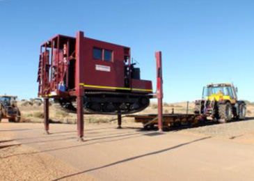
Earthworks Quality Assurance:Monitoring that design is carried out in accordance with project design criteria, technical specifications, relevant statutory requirements and client expectations; Review of contractors proposed earthworks quality plans; and Auditing construction activities to check that earthworks consistently comply with project execution plans, contractual specifications, Quality Control and Quality Assurance Plans. |
|
|
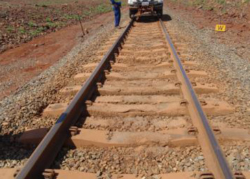
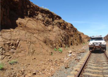
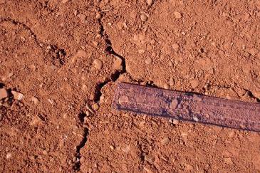
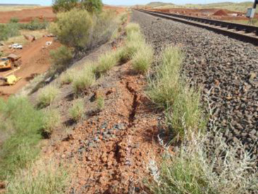
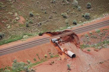
Operational audits:Inspecting operating rail and road cuts, embankments, culverts, bridge abutments and identifying geohazards which may impact on the operation of the asset; Liaising with owners and maintenance groups to prioritise and implement audit recommendations/remediation; and Developing and maintaining databases of inspection and remediation records for rail and road audits to help identify and predict future impacts. |
|
|
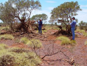
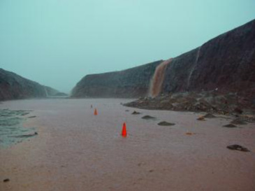
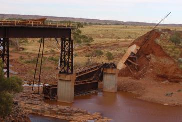
Disaster Recovery:Continued operations of structures may be interrupted by extreme events that exceed design parameters, such as cyclones. Cost implications for clients can be significant, and rapid reconstruction is often critical. 4DG can rapidly provide senior personnel to attend sites to be part of teams remediating damaged structures. |